

At the approach of new technologies in the sea: the 5 best navigation apps
¡Enhance your navigation un simple toque en tu Smartphone!
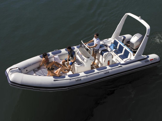
The advent of new technologies has changed the way of life in many ways. The mapping and navigation applications on our mobile dispositvo have perfected essential multifunctional devices, among other things, they are able to locate anywhere in the world and guide us to our destination. Here you have 5 nautical applications, 5 navigation apps that will help you to enjoy Boat rentals in Denia.

- Boating of Navionics
The most famous app in the world of navigation with the largest database of marine most interesting points. This is a GPS chartplotter available for mobile or tablet. Dettail has the same mapping in the plotter GPS. This is a GPS chartplotter available for i-Pad, i-Phone and Android devices. With Boating You can know your position, know the speed at which you go, record the route that you do, easily plan your trip, measure distances between two points and always know the distance that separates you from the coast, controls wind forecasts, the tides and cycles of the sun and moon. You can see geotagged photos and videos on the map and synchronize all the data, routes and tracks between different mobile devices. No telephone coverage be necessary to operate this powerful GPS. - Garmin Bluechart
It consists of the most exclusive nautical charting the powerful company Garmin. This app is designed to provide interactive viewing of detailed nautical chart data. Thus it provides satellite imagery browsers High resolution, 3D perspectives above and below the water level, Auto Guidance technology, photographs of ports, marinas and waterways and coastal roads with points of interest. These detailed electronic nautical charts have the look of paper charts when displayed on your Garmin chartplotter. You can view descriptive details of the functions normally can be found in the letters. The movements of the cursor on the letter provide descriptions of depth contours, the number of letter, the name of the navigation aid and more. - Boat Watch:
Boat Watch is a free and practical application useful for anyone interested in ships and the sea. It provides a virtual map detect any boat in real time, the exact positions of the boat, see the name, type and destination of each vessel, establish any boat as their favorite or find surprising places. - Marinus Ripa
Marinus Ripa or Maritime Regulations provides the student and navigator powerful tools for safety. Surely those applications are essential in the folder navigation apps. Very helpful, single, intuitive and complete. It includes navigation rules and more so you do not forget anything browsing or preparing your exam, as nautical flags, clouds, pinches, lights, shunting, marks, código morse, Douglas and Beaufort scale… All this and more graphic sections, Quickly to consult your doubts. - Windgurú
Windguru is the best application to wind forecast. Its web version is used by millions of users and applications are among the most downloaded in its category and is its reliability in terms of wind forecast refers to is very high and we know many details of how much it will blow the wind, from where and for how long. Windguru weather but provides a simple way, with minimalistic icons and figures, This application is primarily intended for all those who want to know the wind forecast but additionally has information on clouds, rainfall, tides, temperature, etc.. The application is free and is available for almost all platforms, para Android, iOS, Windows Phone, BlackBerry.